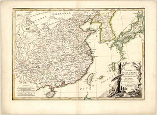
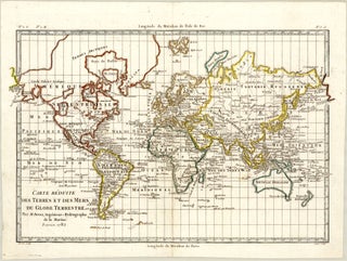
Rigobert BONNE

1727 - 1794

Rigobert Bonne was a prominent French mathematician, engineer, and cartographer born on October 6, 1727, in Raucourt, Ardennes, and deceased on September 2, 1794, in Paris. He was largely a self-taught mathematician, initially gaining practical experience by serving as a military engineer for the French Army during the War of the Austrian Succession. While Bonne did not hail from a family of mapmakers, his legacy was actively carried forward by his son, Charles-Marie Rigobert, who also pursued a prosperous career in the field.

Bonne achieved peak professional standing when he succeeded Jacques Nicolas Bellin, officially serving as the First Hydrographer of the Dépôt de Cartes et Plans de la Marine from 1775 to 1789. His work represents a vital paradigm shift in late 18th-century cartography, moving decisively away from the highly ornate, decorative style of the 17th century toward a strictly practical, scientific, and detail-oriented aesthetic that abandoned ornamental hand-colouring, elaborate cartouches, and decorative compass roses. Though he did not invent the equal-area mathematical projection that bears his name, his application of the “Bonne Projection” in his 1762 Atlas Maritime des Côtes de France modified and popularised the method for widespread navigation. His key publications include the map contributions for Guillaume Raynal’s Atlas de toutes les parties connues du Globe Terrestre (1780) and the multi-volume Atlas Encyclopédique (1787-1788), which he produced in collaboration with the geologist Nicolas Desmarest.

Rigobert Bonne will be remembered as a pioneer of utilitarian cartography who embedded Enlightenment ideals of precision and scientific objectivity into the physical charting of the world.