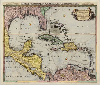
Caribbean
Striking, historically important Dutch map of the Caribbean
Amsterdam: OTTENS, Reiner & Joshua, c. 1740
58.1 x 47.9 cm / 22.9 x 18.9 in
Description
As per its Latin title, this beautiful map focuses on the Caribbean, also taking in neighbouring islands and covering the Spanish Main – stretching from Florida through present-day Mexico and Central America to.....
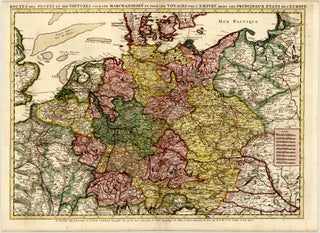
Central Europe
Highly detailed postal route map of Central Europe
Amsterdam: OTTENS, Reiner & Joshua, c. 1745
68.5 x 49.3 cm / 27.0 x 19.4 in
Description
This striking map by the Ottens brothers shows postal and stagecoach service routes throughout the Holy Roman Empire, reaching from present-day Denmark and southern Sweden to northern Italy, Slovenia, and Croatia, and from.....
Asia
Decorative Elwe reissue of Jaillot's map of Asia
Amsterdam: ELWE, Jan Barend, 1792 (dated)
58.2 x 47.0 cm / 22.9 x 18.5 in
Description
This beautiful, contemporary-coloured map of Asia was published by Jan Barend Elwe in 1792 in Amsterdam.
The map is richly detailed, with countless topographical features and placenames throughout. Relief and vegetation are rendered pictorially.....
Middle East
Scarce decorative Elwe reissue of De Wit’s map of the Middle East
Amsterdam: ELWE, Jan Barend, 1792 (dated)
56.3 x 47.6 cm / 22.2 x 18.7 in
Description
This beautiful, contemporary-coloured map of the Middle East features the Arabian Peninsula and Persia prominently. It presents the region from the Black and Caspian seas and present-day Georgia, Armenia, and Azerbaijan in the north.....