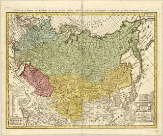
Franz Ludwig GÜSSEFELD

1744 - 1807

Franz Ludwig Güssefeld was born on December 6, 1744, in Osterburg, Germany, and died on June 17, 1807, in Weimar. Little is known about his family background and education. He sought to enter the Prussian Corps of Engineers but was rejected, which led him to pursue professional training and employment as a forester. He subsequently expanded his expertise into professional surveying and engineering.

Güssefeld played a critical role in late 18th-century European cartography, specifically by revitalising the Nuremberg publishing house Homann Heirs (Homannsche Erben). By the 1770s, the formerly prominent firm was in severe financial decline due to mismanagement. The exceptional scientific accuracy and clarity of Güssefeld’s work are credited with saving the company. Over his career, he produced more than 100 highly precise regional and continental maps for Homann Heirs, moving away from ornate baroque decorations toward information-rich, scientifically grounded designs. During the last 18 years of his life, he also collaborated with, and published maps through, the Landes-Industrie Comptoir and the Geographisches Institut von Bertuch in Weimar. His key geographical publications include his foundational 1773 map of Brandenburg, his 1784 map of the United States, his 1786 map of Lower Saxony, and his major continental surveys including Africa (1797) and Asia (1805).

Güssefeld is remembered as a highly precise, self-taught German cartographer whose rigorous dedication to geographic exactness single-handedly preserved the legacy of Europe’s most famous map publishing house during the Enlightenment.